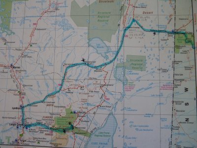
Hema 7 P73
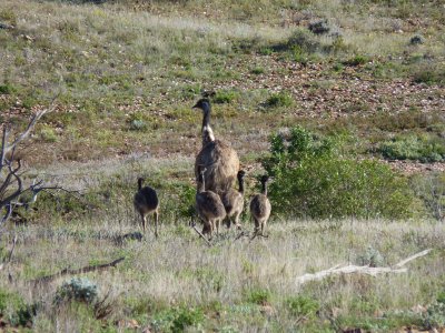
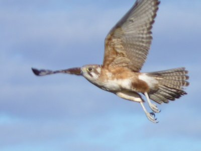
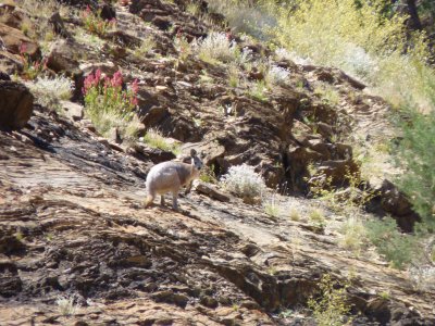
Can't imagine why they hurry away from us...
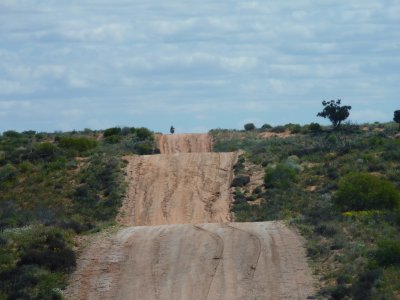
The road was badly rutted on the hills but easily manageable.
The couple on the motorbike (just visible on road) told us of the shortcut that heads SW and avoids Merty Merty.
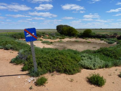
Still intrigued by the Australian love of signs the tank is empty with no hope of being filled without some power for the pump.
We obeyed the sign and didn't swim.
A tank out here is like a four sided dam, dug out of the ground, with no top.
Its not on any of the maps we have. Including the 1:250,000 topographic.
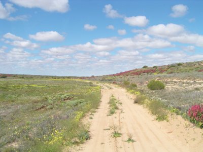
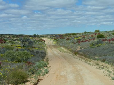
A bit sandy, and a bit damp, but easily passable. Beautiful flowers as we drove between the dunes (instead of across them).
Like all the other maps it didn't know about the shortcut.
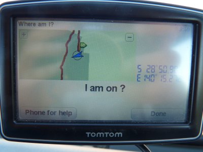
Its lost!
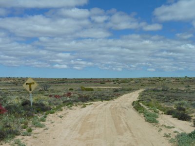
This is the T-Junction where it meets the Strzelecki Track.
We turned the indicator on and turned left.
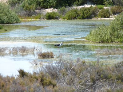
Stopped for a cup of tea and some bird watching.
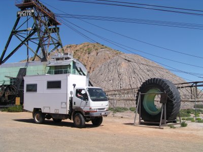
Had to have a look at the Leigh Creek coal mine.
The tyre was used for a world record (for that type) over 400,000 km.
We'll be happy with a bit less on ours.
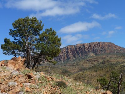
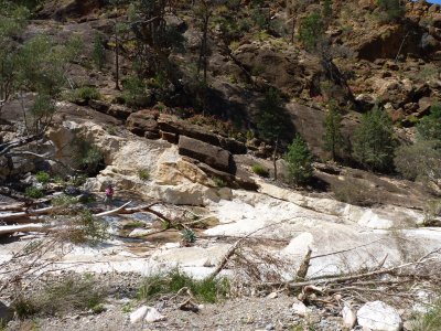
Having walked through Weetootla Gorge to McKinley Springs we looked up at Mt McKinley Bluff.
Should have brought the tent and climbed the mountain.
The rocks are interesting, including tillite which is sandstone formed from the morraine (till) left by glaciers.
Only about 10 tonnes of ore removed and shipped North to a Smelter on the edge of the range.
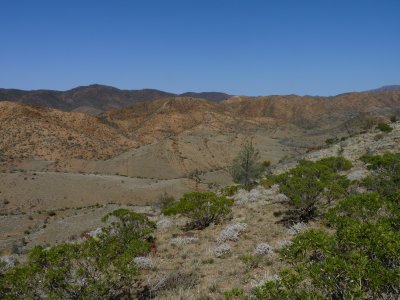
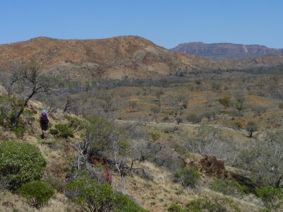
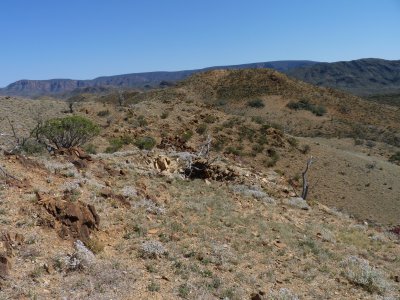
Reasonable weather for walking if we got up early to avoid the midday heat.
There were other, more economic, deposits available elsewhere.
Looked just as interesting close up.